City Information Model (CIM) Platform

Based on building information modeling, geographic information system, IoT and other technologies, the CIM platform builds a spatial foundation, on which the multi-source spatio-temporal information is integrated. In this way, it realizes the unified representation and multidimensional control of the city, and lays a digital foundation of physical space for building a smart city.


Product Highlights:

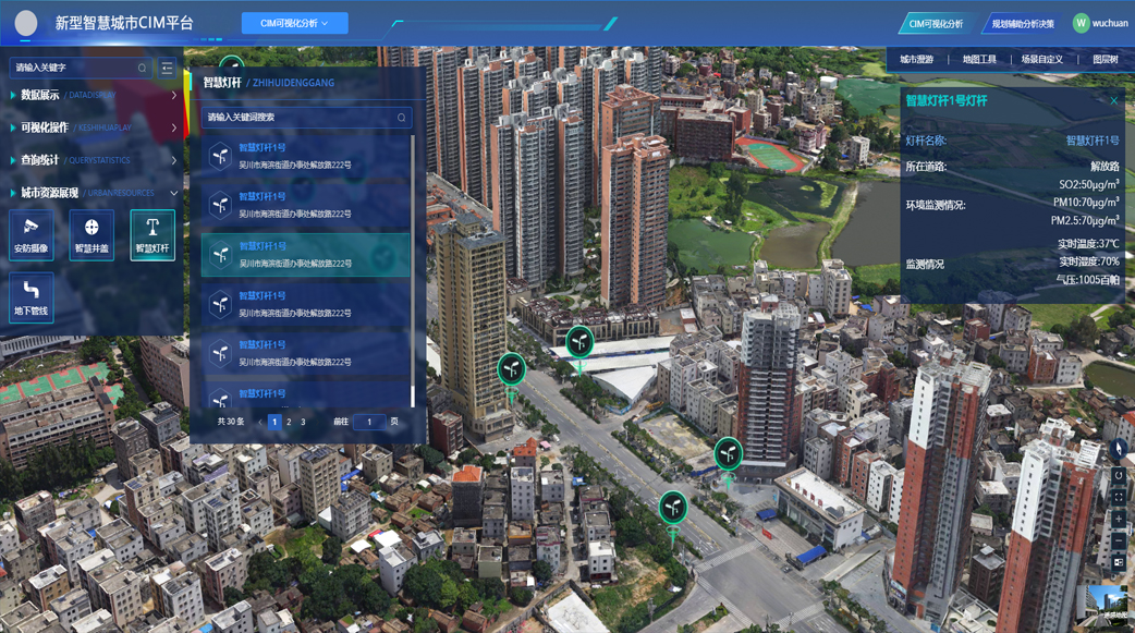
  1. Data Integration in One Map

    Building a three-dimensional 'digital twin city' visualization by integrating urban data from multiple sources to get all the information on one map;

  2. City Monitoring in One System

    Real-time monitoring and intelligent analytics for dynamic monitoring and early warning of key elements of urban operations;

  3. City Management in One Platform 

    Provides scientific assistance for urban planning, construction, and management through the use of visualization analysis, simulation, and deduction functions.


Feature

Data Integration

Facilitating the comprehensive display and analysis of city information with a unified database.

Platform Operation and Service Subsystem

Facilitating information sharing and application services through data management, service release, authority control and other key functions.

3D Real-life Modeling

Creating a 3D models of cities based on high-precision maps and real-life data, providing a visual basis for urban planning and management.

Planning Decision-Making Assistance

Integrating spatial analysis, simulation, and prediction functions to provide a scientific foundation for city planning, optimize resource allocation, and enhance decision-making efficiency and quality.

CIM Visualization and Analysis

Utilizing 3D visualization technology to present the city's operational status, facilitate the extraction and analysis of complex data sets, and assist in the identification and resolution of issues.